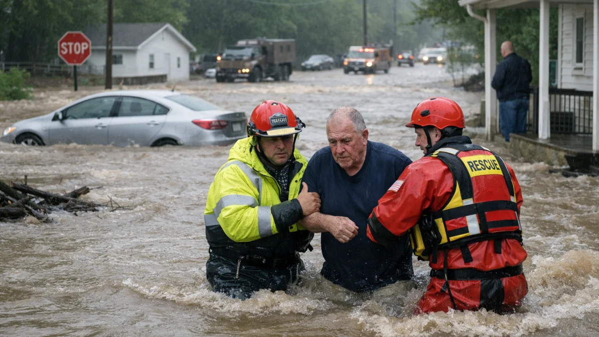
NEW YORK — Flash flooding alerts stretched from parts of Ohio across the Mid-Atlantic and into the U.S. Northeast on Monday, with millions of people under flood watches or warnings as forecasters warned that repeated rounds of heavy rain could trigger dangerous flooding in urban areas, small streams and low-lying communities.
The U.S. National Weather Service (NWS) issued numerous flood watches and flash flood warnings across portions of Ohio, Pennsylvania, New Jersey, New York, Connecticut and neighboring states, citing the risk of excessive rainfall from slow-moving thunderstorms. Forecasts called for rainfall rates exceeding 2 inches (5 cm) per hour in the strongest storms, with localized higher totals possible.
In northern Ohio, the NWS issued a flash flood warning for parts of Erie County after thunderstorms produced torrential rainfall overnight. Forecasters said between 7 and 13 inches (18 to 33 cm) of rain had fallen on Kelleys Island, where flash flooding was already occurring, while additional rainfall remained possible before conditions improved.
Elsewhere in Ohio, flood watches covered much of the northern and northeastern parts of the state, where forecasters warned that thunderstorms later Monday could quickly overwhelm drainage systems and flood roads, creeks and other vulnerable locations. Similar flood watches extended across western and central Pennsylvania, parts of northern West Virginia and portions of the Mid-Atlantic.
The Weather Prediction Center placed parts of the Interstate 95 corridor, including New York City, Long Island, coastal Connecticut, Rhode Island and southeastern Massachusetts, under a moderate risk of excessive rainfall, indicating an increased potential for significant flash flooding. Forecasts called for multiple rounds of rain through Monday night, with repeated storms capable of producing localized flooding in densely populated areas.
New York City officials activated emergency preparations ahead of the expected downpours. Mayor Zohran Mamdani urged residents to limit unnecessary travel, while city agencies deployed crews to clear storm drains and prepare for possible flooding, particularly during the Monday morning and evening commutes.
The flood threat followed an extended period of extreme heat across much of the eastern United States. The National Weather Service said a cooler air mass moving into the region would interact with abundant moisture and a stalled weather boundary, creating favorable conditions for heavy rainfall and flash flooding.
Forecasters advised residents in affected areas to monitor updated forecasts and heed any flash flood warnings, emphasizing that flooding can develop rapidly, especially in urban locations and areas with saturated ground.