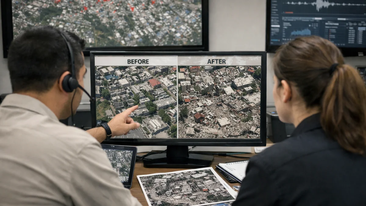
CARACAS — Satellite imagery has enabled a rapid preliminary assessment of damage from two powerful earthquakes that struck north-central Venezuela on June 24, estimating that nearly 59,000 buildings were likely damaged or destroyed.
Researchers using data from the European Space Agency's Sentinel-1 radar satellite analyzed post-event imagery and identified abrupt surface changes consistent with structural damage across the affected region. Corey Scher and Jamon Van Den Hoek of Oregon State University led the analysis, which examined acquisitions from June 24 and 25.
The assessment, described as experimental and preliminary, covers areas including the epicentral zone near San Felipe and Yumare as well as greater Caracas and coastal communities such as Caraballeda, La Guaira, Macuto and Catia la Mar. It estimates about 58,870 buildings were likely damaged or destroyed as of the latest satellite pass on June 25.
The earthquakes, a magnitude 7.2 foreshock followed seconds later by a 7.5 mainshock, caused widespread destruction along Venezuela's central coast. Before-and-after satellite images from providers including Planet Labs and Vantor have shown collapsed high-rise buildings, resorts and residential structures, particularly in coastal towns.
Humanitarian organizations, including the Humanitarian OpenStreetMap Team, have incorporated the imagery into damage mapping efforts alongside drone and crowdsourced data to support response activities.
Venezuelan authorities have reported significant infrastructure impacts and casualties, though official figures continue to be updated. The satellite-derived building damage estimates provide an independent indicator to help prioritize ground assessments and aid delivery.
NASA and other agencies have also released maps tracking ground displacement and landslide risks derived from satellite radar and optical data, aiding emergency managers in evaluating ongoing hazards.
As of early July, rescue and recovery operations were continuing in the hardest-hit areas, with international support contributing satellite and mapping resources to the response. Further ground verification will be needed to refine the initial remote assessments.