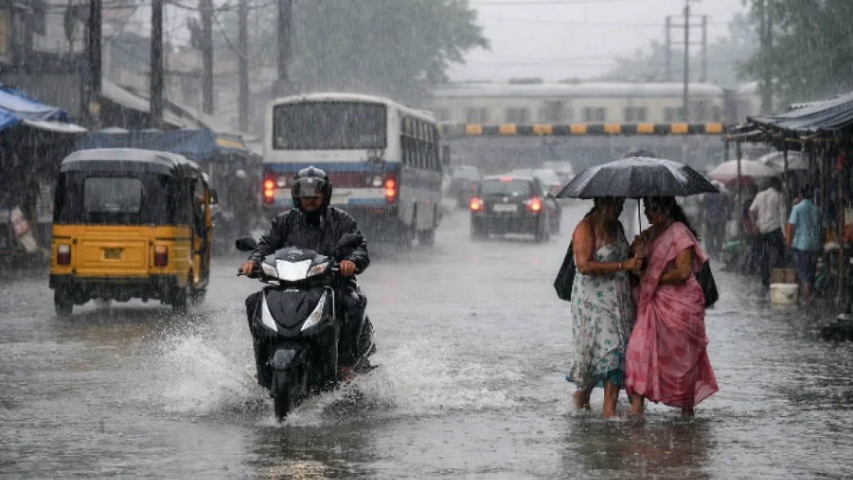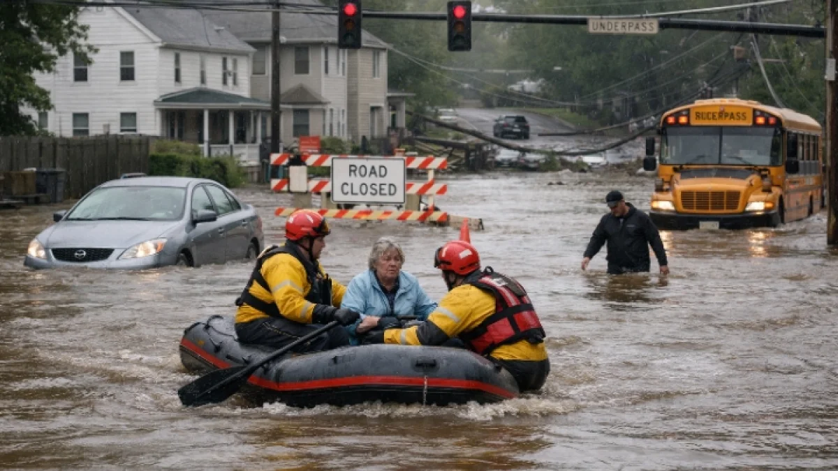
NEW YORK—Heavy rain and severe thunderstorms swept across parts of the U.S. Northeast on Tuesday, triggering flash flooding, disrupting ground and air travel, and prompting emergency warnings across several states as forecasters warned that saturated ground could worsen flooding risks.
The National Weather Service issued numerous flash flood and severe thunderstorm warnings across portions of New York, New Jersey, Connecticut and neighboring states after repeated rounds of storms produced torrential rainfall. The agency said some locations could receive rainfall at rates exceeding 2 inches (5 cm) per hour, increasing the likelihood of rapid flooding in urban areas, small streams and low-lying roads.
Local authorities reported flooded roadways, temporary street closures and water rescues in several communities, although officials continued to assess the full extent of damage. As of Tuesday evening, no comprehensive regional casualty figures had been confirmed by emergency management agencies.
The storms also disrupted transportation across the region. The Federal Aviation Administration implemented traffic management measures, including a ground stop at New York's LaGuardia Airport, as thunderstorms moved through the area. More than 600 flights were canceled across LaGuardia, John F. Kennedy International Airport and Newark Liberty International Airport, according to flight tracking data and airport updates, while airlines issued travel waivers for affected passengers.
The National Weather Service had warned in advance that multiple rounds of showers and thunderstorms could bring widespread rainfall totals of 1 to 2 inches, with isolated locations receiving up to 4 inches. Officials urged residents to avoid driving through flooded roadways and to monitor updated forecasts as additional storms remained possible.
Forecasters said the severe weather formed along a slow-moving frontal system interacting with abundant summer moisture, creating conditions favorable for intense rainfall, damaging wind gusts and isolated tornadoes. Severe weather risks extended from parts of the Mid-Atlantic into New England, with flash flooding considered the primary hazard in densely populated urban corridors.
Emergency management officials continued monitoring river levels and local drainage systems while cleanup operations began in areas where floodwaters had receded. The National Weather Service said additional forecast updates and warnings would be issued as the storm system moved eastward and conditions evolved.